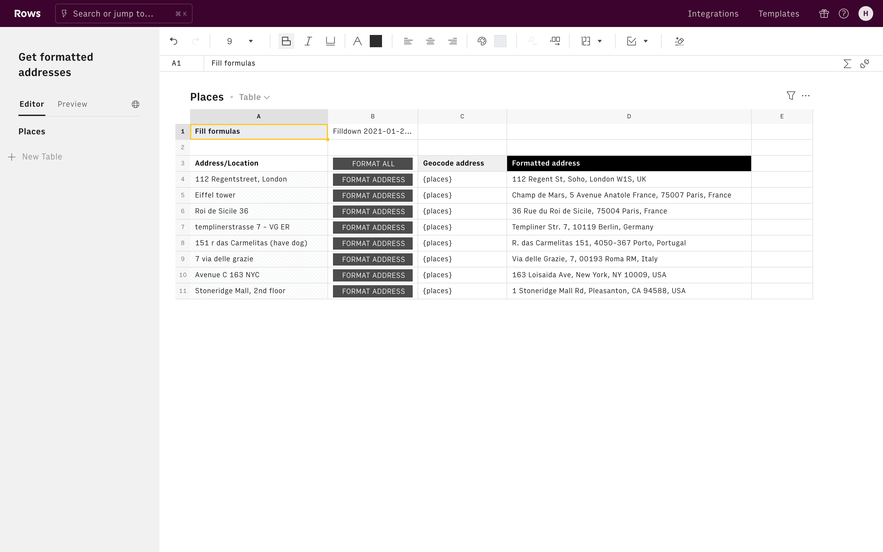
Find and get data about places and locations!
Connecting Google Maps with Rows gives you the power to find directions and places and enrich them with data, all in a spreadsheet.
Use cases
Things you can do when using Maps and Places (Google) with Rows include:
- Find places by name or location and enrich them with data.
- Find places within a specific radius including restaurants, cafes, gyms, schools, and more.
- Geocode addresses or locations by converting them into their longitude and latitude coordinates.
- Reverse geocode pairs of longitude and latitude coordinates into their address.
- Find the directions between locations using several modes of transportation including transit, driving, walking, or cycling.
- Calculate the travel distance and time for a matrix of origins and destinations.
- Find the elevation of locations in meters.
About Maps and Places
Google Maps is a web mapping service developed by Google. It offers satellite imagery, aerial photography, street maps, 360° interactive panoramic views of streets (Street View), real-time traffic conditions, and route planning for traveling by foot, car, bicycle and air (in beta), or public transportation. In 2020, Google Maps was used by over 1 billion people every month. Google Maps offers an API that allows maps to be embedded on third-party websites, and offers a locator for businesses and other organizations in numerous countries around the world.
cloud.google.com/maps-platform/GET_DIRECTIONS
Get directions according to your start and end locations. You can further define your search by choosing a mode of transportation or adding waypoints.
GET_DISTANCE_MATRIX
Retrieves the directions from all starting locations to all destination locations.
GET_ELEVATION
Get the elevation, in meters, for a given set of coordinates.
GET_GEOCODE
Get the latitude and longitude coordinates for an address.
GET_REVERSE_GEOCODE
Get the address based on latitude and longitude coordinates.

